Black Mountain, Kentucky |
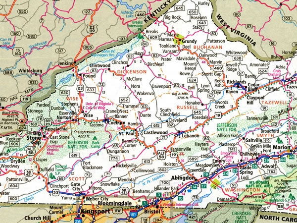 To get from Damascus, Virginia, to Black Mountain, Kentucky, I left Damascus (which is underlined in red near the bottom right-hand corner of this map) and drove west on US federal highway 58 first to Big Stone Gap, Virginia, and then to Appalachia, Virginia. From Appalachia (which is underlined in red near the left-hand edge of this photograph) it is 7.7 miles / 12.4 kilometres via Virginia state routes 68 and 160 to the Virginia / Kentucky state line, where theres an unpaved road on the Kentucky side of the border that leads to the summit of Black Mountain. |